At a Glance
Elevation: 5344
Distance to Summit: 7.4 miles
Total distance: 14.8 miles
Trail Entrance Location Coordinates (google maps): 43.108471, -74.368059
What to Bring
- ½ liter for every hour in the woods
- Jacket, the top of the mountain is about 20 degrees colder than where you start your journey
- Dense foods. Granola bars, nuts and trail mix, string cheese
- Toilet paper
- Bug spray
- Leg Gaiters – Waterproof to keep your feet dry (amazon link for the best price)
- Sunscreen
- Properly fitting already broken in footwear – hiking boots or trail running shoes
- Map – although the trails are well marked a map is always a good idea.
- Adjustable Hiking Sticks (here is a link to amazon, I won’t hike again without them) they certainly help you to move quicker over some of the terrain. Just about everyone that flew past us were using these to navigate the trails.
Why Mount Marcy
You know how your hanging out with your buddies and the night starts to get late, that’s when the really “good” ideas come out. That’s what happened back in December. Somehow the idea that we would all climb a mountain seemed like the one thing we all HAD to do.
I’m writing this as it’s still fresh in my mind, before the blisters have healed. Our group was not a band of hiking fanatics, just 4 amateur with ages ranging from 16 – 43 on a mission.
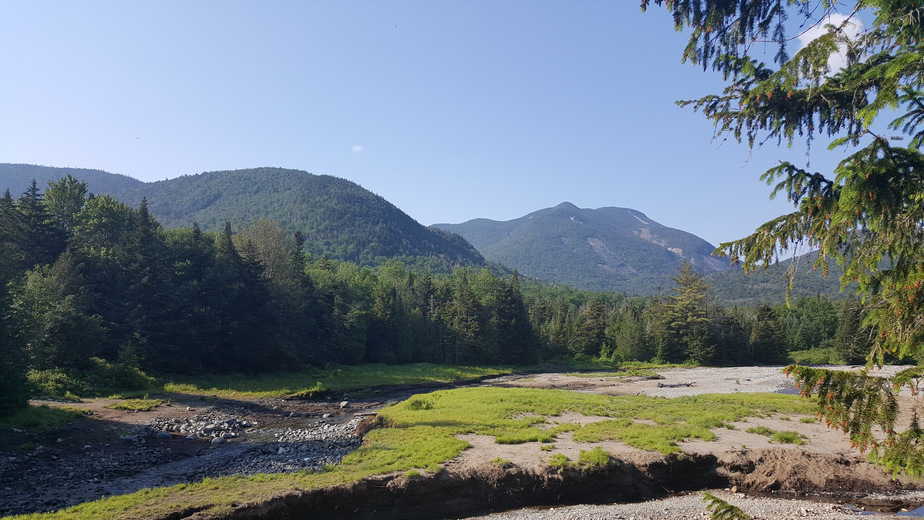
How did we decide on Marcy, well it’s the highest peak in New York and the Adirondacks with an elevation of 5,344. So it was the obvious choice for us. We would also be within a 2 hour drive from where we vacation on the 4th of July, so it was the perfect day trip.
After doing a little more research I realized that it wasn’t just the mountain that would be a challenge, it was the 15 mile (14.8 miles) hike that came along with it. As I said before, we are complete amateurs. To us, a 3 mile hike is a long distance, so keep that in mind as you read.
Here Is The Video Of Our Adventure
How Do You Get To Marcy
The best way to get up Marcy was through the Van Hoevenberg trail. There is a welcome center without an address. That’s where the trail begins, you will need to use the coordinates 43.108471, -74.368059 in google maps, or a good old fashioned map to find it.
My GPS did not work properly on the ride up and cell phone reception is very limited so keep this in mind if you plan to rely on technology.
Newbies in the Woods
Get your parking pass inside if there is no one at the gate. We began speaking with one of the welcoming members upon arrival. She was asking us questions to make sure we were prepared for our day in the woods. I guess we really stood out!
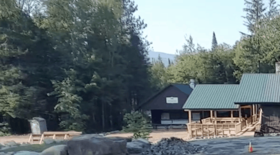
She immediately pointed out that most of us were wearing cotton. A bad choice for a day long hike in the summer. Live and learn… the hard way. Cotton does not wick away the sweat as well as other materials. Instead it just gets heavier and uncomfortable as we found out first hand.
“Just go as far as you can. There is no shame if you don’t make it all the way up.” She said. I wasn’t sure if she was trying to discourage, or inspire us but with that we headed toward the trail.
What to Expect Climbing Mount Marcy
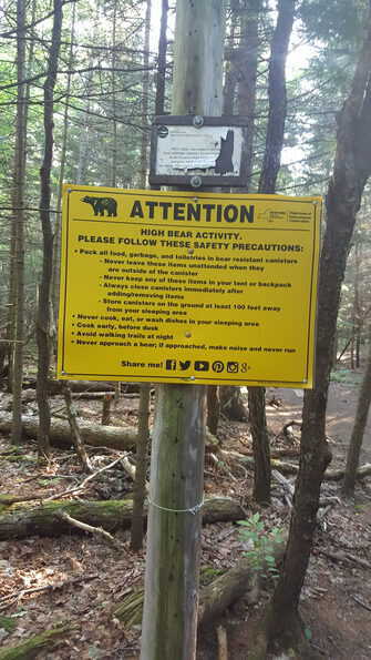
Be sure you register at the registration hut before you begin. Also take note of the bear warning, for correctly storing your food. The trail was clearly marked with blue discs, and a mile marker sign every few miles. Marcy is not the only mountain along the trail, but that was the focus of our trip so we never ventured off in any other directions.
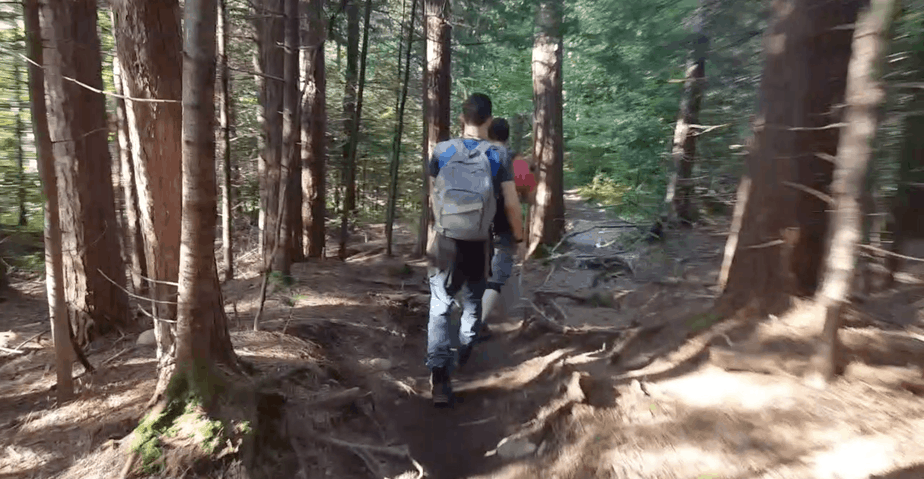
The trail was well worn with lots of foot traffic. The only hiccups were the roots that gnarled their way through it. I thought, “this is a piece of cake.”
Marcy Dam
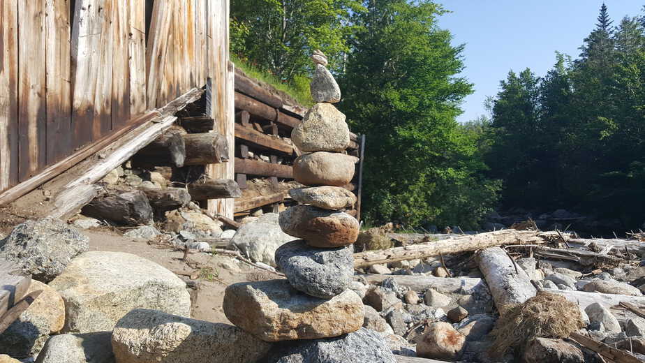
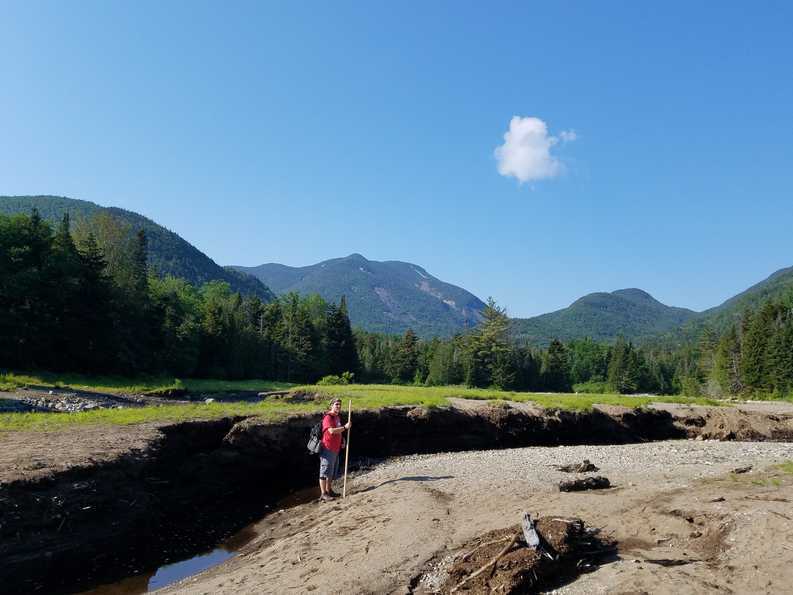
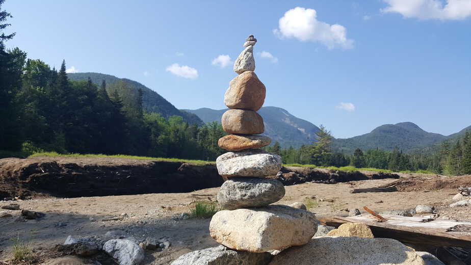
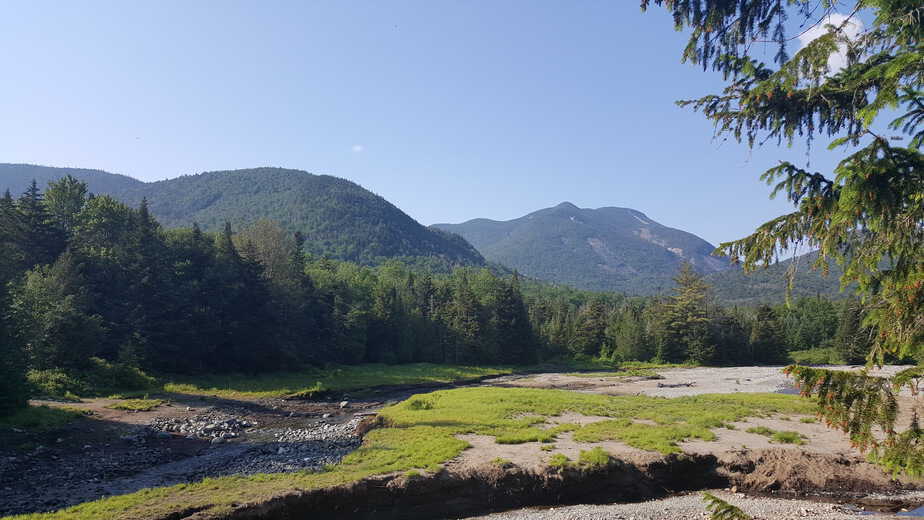
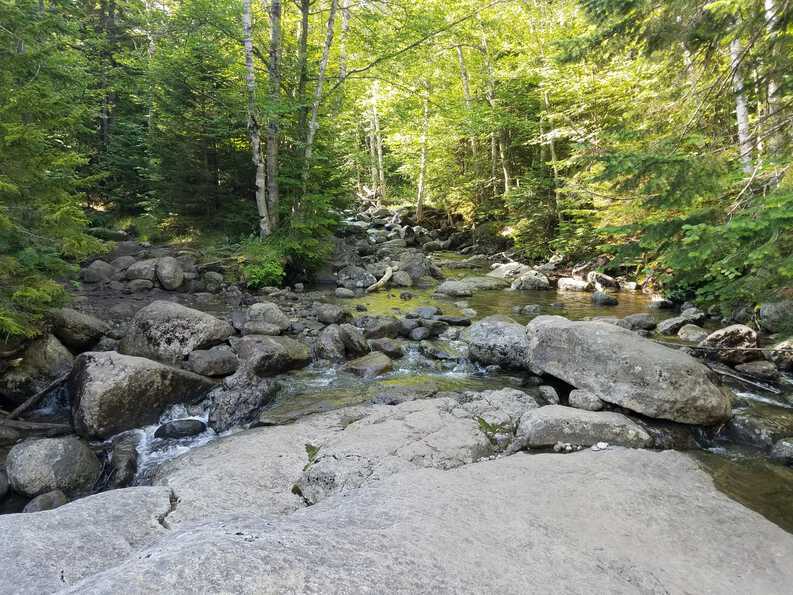
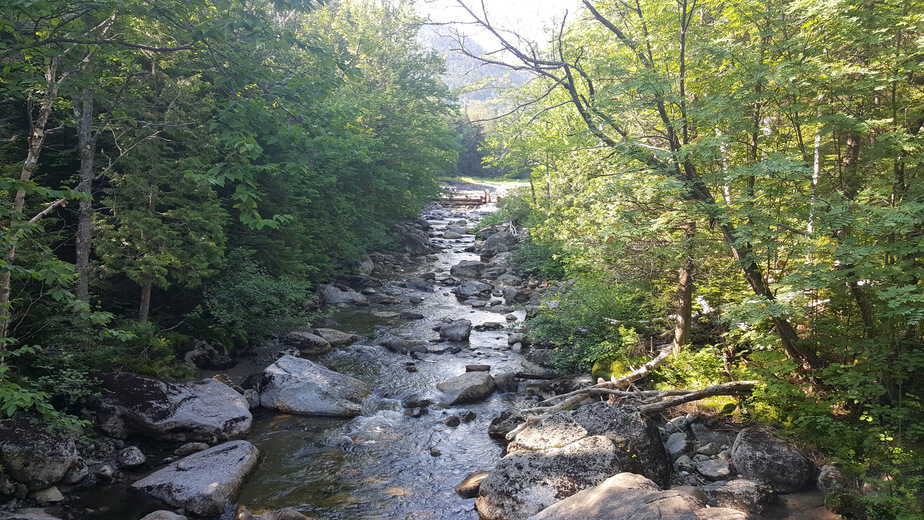
At 2.1 miles you come to Marcy Dam. We were fortunate to have perfect weather for our day out as you can see in the pictures. You cant see Mount Marcy from here but this is a great place to stop for a water break.
The next stretch of the trail gives you a taste of what’s to come. You begin to head upwards a bit, walking over rocks that litter the trail. It was a bit muddy because of the wet spring/summer we have had. Navigating the rocks isn’t too difficult and it keeps you out of the mud. I recommend wearing gaiters to keep the water out.
Indian Falls
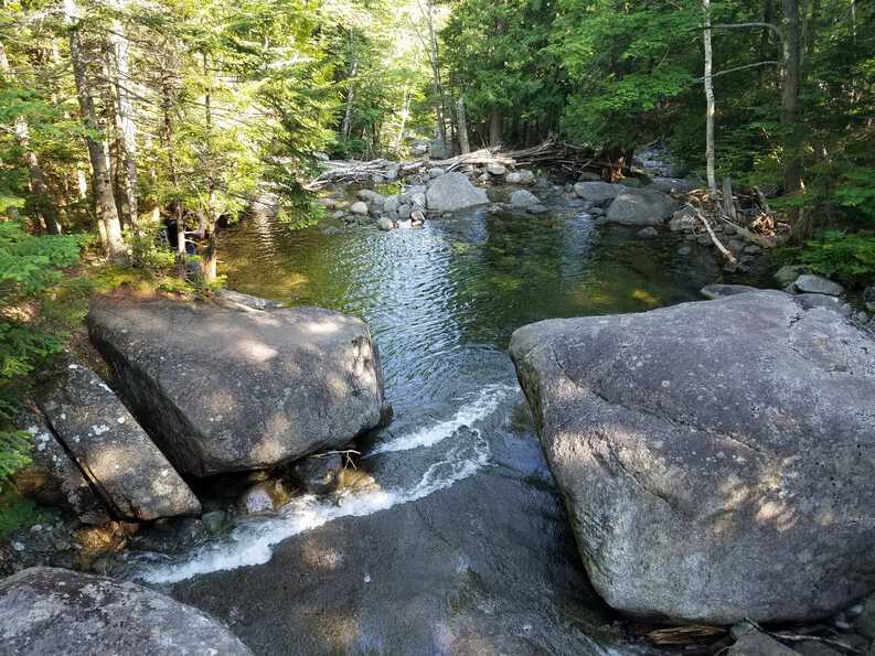
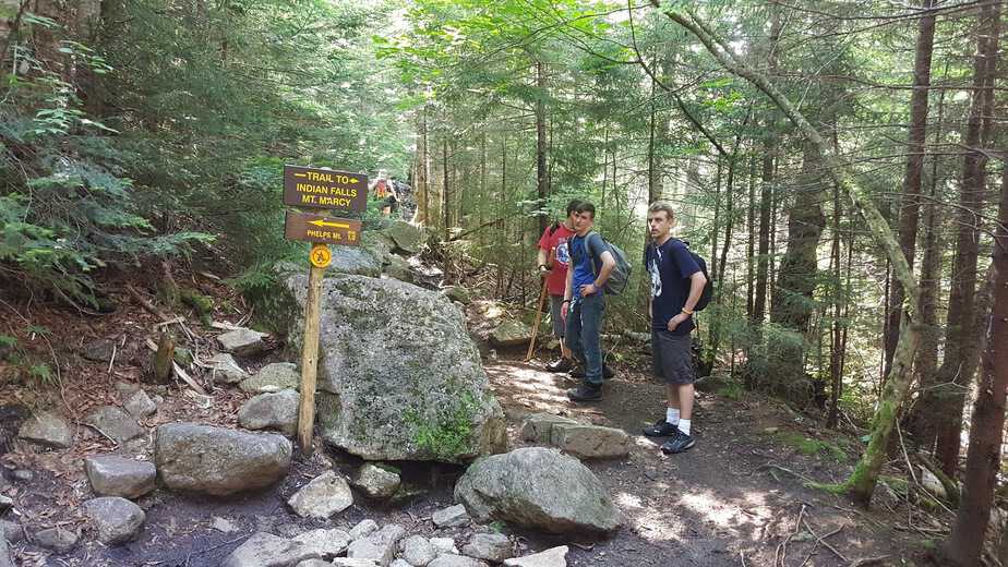
The next highlight on the hike is Indian Falls. You come to a stream you need to cross and there is a sign for the falls. Marcy was one way, and the falls was another. We decided not to travel to the falls not knowing how far away they actually were, and like I said earlier we were on a mission. We figured, depending on how we were feeling we could hit the falls on the way back.
We were informed by other hikers that this was about halfway to Marcy’s summit. We didn’t realize it was the “easy” half.
Never Ending Stairway
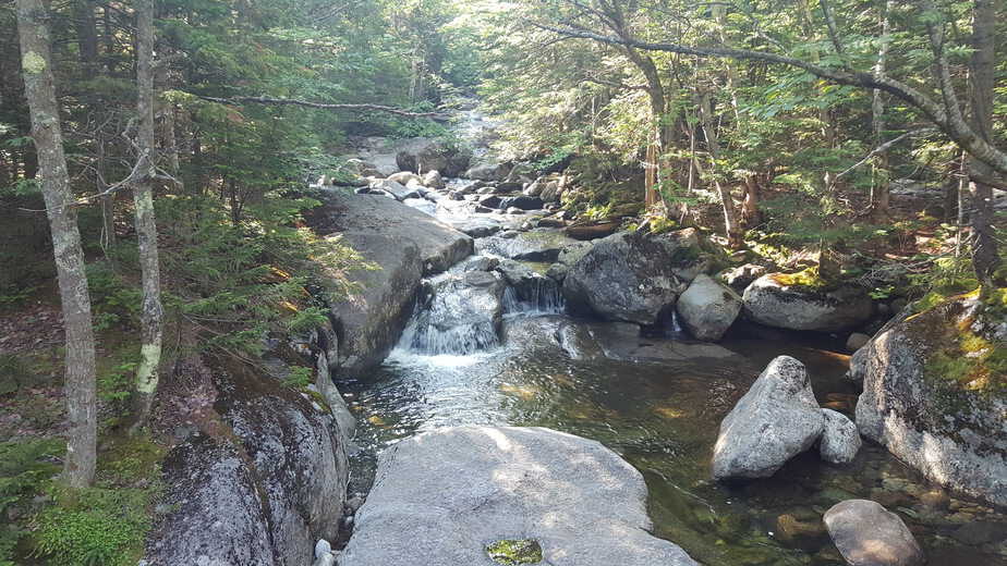
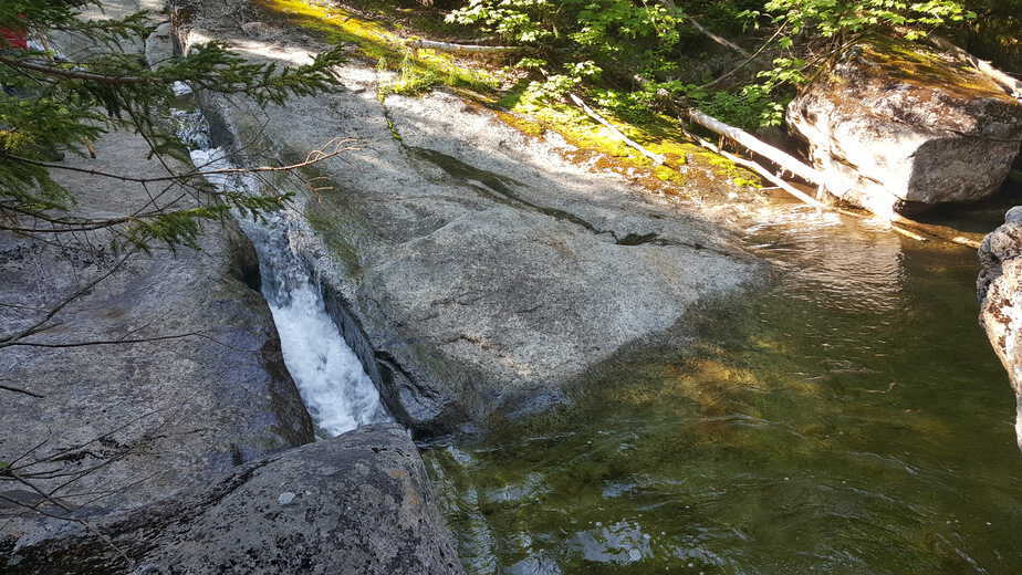
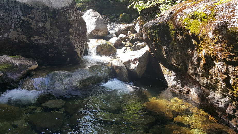
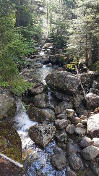
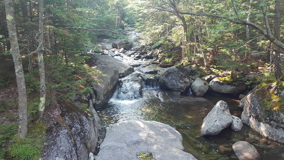
We headed down the trail marked with blue discs and came to what looked like a dry creek bed with very large rocks going up. This went on for just over 2 miles. At this point we were all starting to slow down. The enthusiasm we started off with was slowly draining with every step upward. At this point the black flies were relentless, and every water break needed a re-application of bug spray.
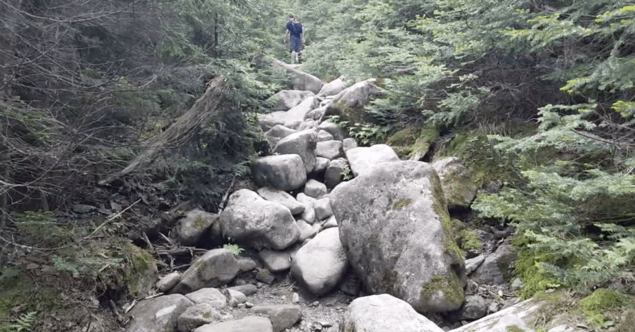
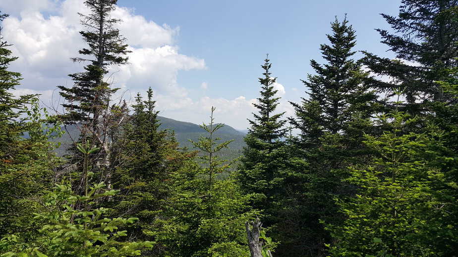
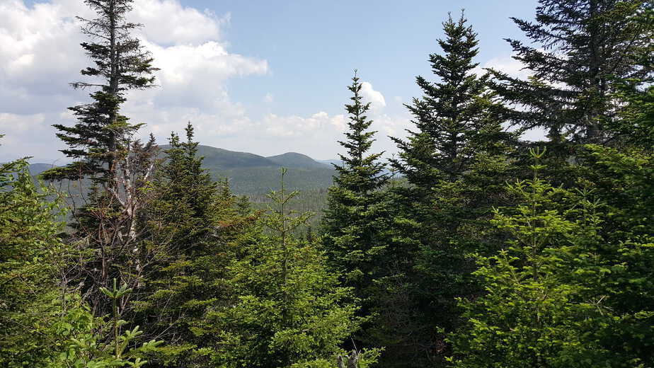
Once through the dry creek bed, the trail changes back into a more typical trail. The vegetation also begins to look a bit different. As you make your way along the trail there are small clearings with breathtaking views. This helped motivate us to keep going.
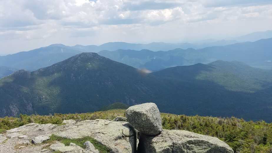
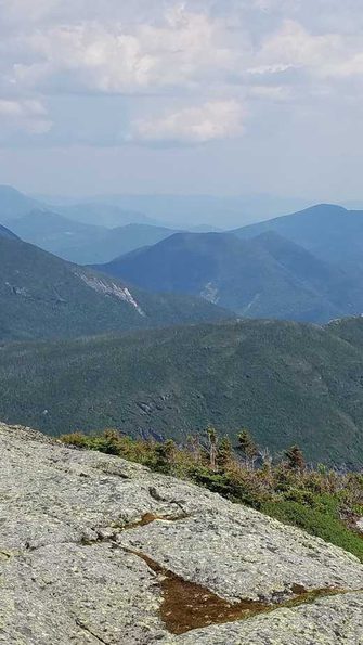
About a mile away from the summit there is a clearing where you can get a good view of Marcy. It looked so far away but we had come this far so going back was not an option. This was the “fun” part of the climbing according to my son (16). From this point on the trail changes, and you are now faced with climbing the rock that IS Marcy. The trail is marked well with yellow stripes. Some of the spots were challenging to navigate, mainly because we were out of gas. This last bit of the trail was the greatest. The view was spectacular with every changing movement forward.
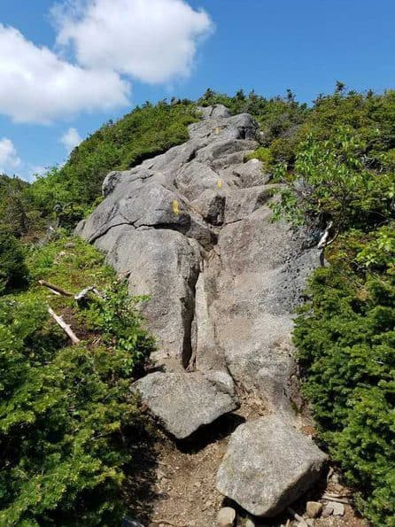
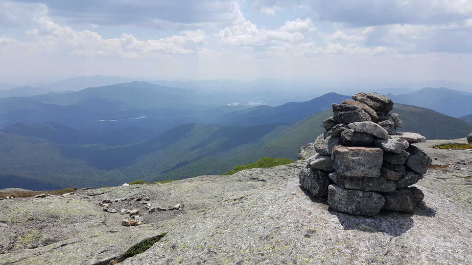
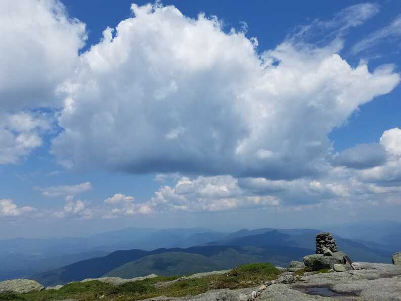
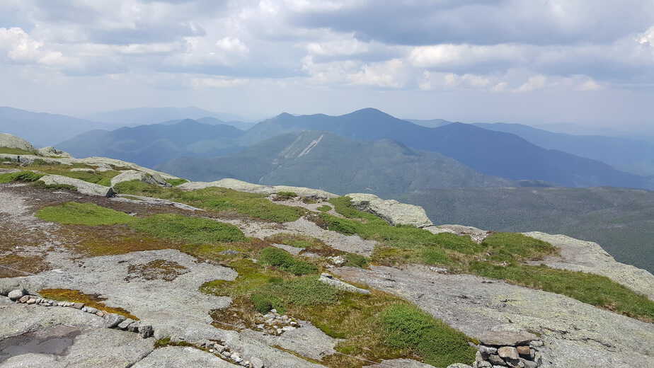
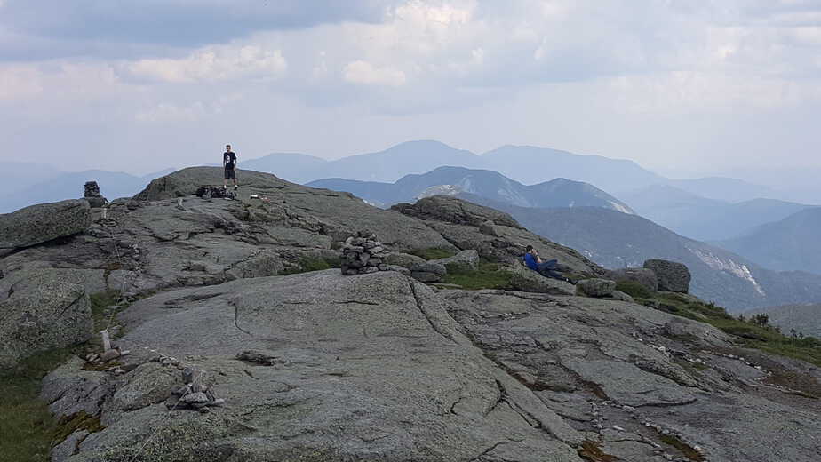
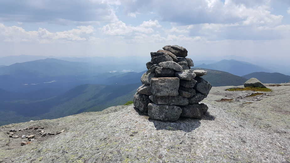
Although it was July in New York the top of the mountain still had a little snow on it. The air was cooler and the wind was a consistent 20mph, but it was refreshing on the warm buggy day.
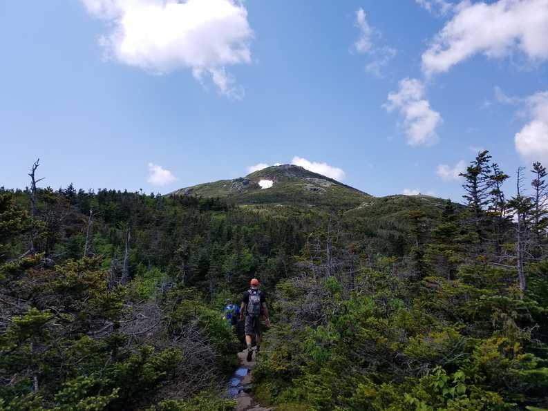
The vegetation completely changes at this point, there are no more trees. You enter a tundra climate zone.
On Top Of A Mountain
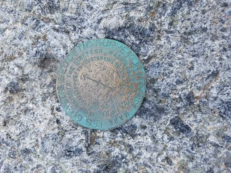
Upon reaching the top, after a short rest we were greeted by a ranger. He informed us that he was there to greet people and answer any questions they had. He was enthusiastically knowledgeable about anything we asked.
One of our questions: “Is there a shortcut to get back down?” (probably heard that a million times) and he told us the quickest way down was the way we came up. He hikes up to the summit every morning and hikes back down at the end of the day. I found this to be quite unusual, and couldn’t imagine doing this on a daily basis.
Retracing Our Steps
Once we felt a little rejuvenated it was time to start the long hike back to the car. You would think going down would be the easy part, it wasn’t. We moved along at a steady pace. The difficult part was the 2 miles or so of creek bed that seemed to never end.
Once we were through that the rest was fairly easy… just long.
We never did make it to see indian falls. I guess i’lll save that for my next trip.
Is Mount Marcy Hard to Hike
This is a loaded question. There are lots of variables, like what kind of shape you’re in and how much drive you have. It was not too difficult as far as the climb goes. The most difficult part of the hike was the last mile or so, but even that wasn’t too steep.
The majority of the hike is a creek bed filled with boulders. It was difficult to look around and take it all in. my attention was mainly on the ground, trying not to twist my ankle. Two miles of this wore me down.
The length of the hike is another factor. Now i consider myself in pretty good shape. I work out 4 to 5 times per week for an hour or so at a time, watch what I eat, not overweight, but that wore me out.
My son 16, had no problems and was waiting for us to catch up on many occasions.
Our Plan
Begin hiking by 7:00Am
Reach the summit by 11
Recover for an hour then head back down at 12
Back to the car by 4
I assumed we would be hiking at an average pace of 2mph for 14.8 miles
Total time: 9 hours
Reality
Began hiking at 7:30
Reached summit at 1:05pm
Recovered for about 45 min and started to climb down at 1:50pm
Back to the car at 6:15
Total time: 10 hours 45 min
As you can see we were off a bit from our original plan. If you plan on doing this in a day be sure to get there early, parking does start to fill up the later it gets. If you are new to this type of hiking give yourself some extra time, another reason to begin early.
All in All A Great Day
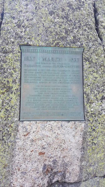
It’s always great to get out in nature and get inspired. This trip recharged my batteries and filled me with enthusiasm. Trying to recreate what mother nature does so flawlessly is a challenge. But with this newly lit fire inside me I am up for it.
After doing something like this, as time passes your memory of the struggle weakens while the memory of the accomplishment gets stronger. I know it won’t be long until i find myself deep in the woods climbing more peaks. As I was warned by another hiker we ran into “Be careful, this is addictive”.
~Jeff


